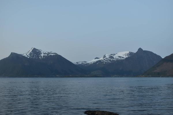
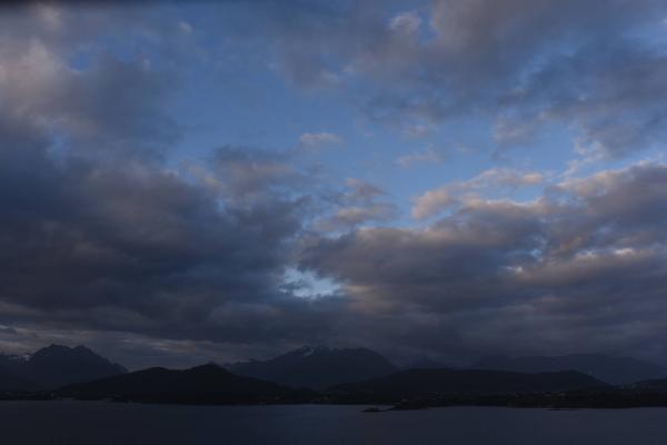
Webcams
+1

E+1
S+1
The closest observation stations
Fv61 Hareidsdalen
elevation 132 m, 3 km from Tytebærhaugen
Temperature atTemperature13.3°Precipitation last 24 hoursPrecipitation 0mmWind speed at2.9m/sFv654 Herøybrua
elevation 23 m, 7.7 km from Tytebærhaugen
Temperature atTemperature12.4°Wind speed at1.9m/sFv5876 Rundebrua
elevation 20 m, 12.3 km from Tytebærhaugen
Temperature atTemperature10.1°Precipitation last 24 hoursPrecipitation 0mmWind speed at7.2m/s
The air around Tytebærhaugen
Pollen forecast
Møre og Romsdal
3 May Pollen type Concentration Birch SevereSalix Low4 May Pollen type Concentration Birch SevereSalix LowAir pollution
Tytebærhaugen
:ModerateMost people can be active outside.
Graph which shows air quality for Tytebærhaugen
In the atmosphere
UV forecast
Tytebærhaugen
0No UV radiationGraph which shows UV forecast for Tytebærhaugen Aurora
Tytebærhaugen
Kp index: 2Aurora: No activity11% cloud coverAurora
Sun and moon
Sun
Daylight6° above horizonGraph which shows the sun phases and how high in the sky the sun is for Tytebærhaugen - Sunrise
- Sunset
- Length of day:
- Difference from yesterday:
- Difference from winter solstice:
- Solar noon at
- Next solar eclipse (partial):
Moon
The moon is 35° under the horizon in northwest
24.9% illuminated, waning crescent
- Moonrise in southeast
- Moonset in southwest
- Next full moon:
- Next new moon:
- Next lunar eclipse (partial):
Water temperatures
Brandal
9.8 km from Tytebærhaugen
Temperature9.1°Registered by HG Elektro AS,
Rotevatnet
26.8 km from Tytebærhaugen
Temperature12.0°Registered by user,