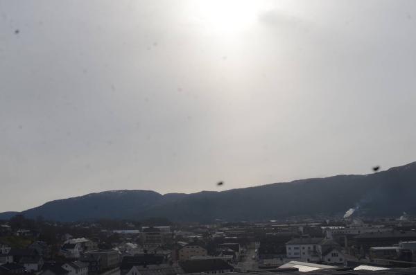
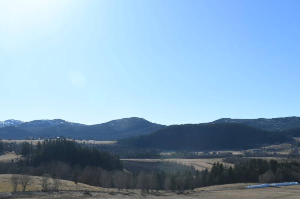
Webcams

E+1
SW+1
The closest observation stations
Fv17 Rødhammer
elevation 38 m, 15.8 km from Vattafjellet
Temperature atTemperature5.9°Wind speed at0.3m/sNamsos lufthavn
elevation 2 m, 17.4 km from Vattafjellet
Temperature atTemperature5.5°Wind speed at1.9m/sWind gust at4.0m/sBuholmråsa fyr
elevation 18 m, 37.3 km from Vattafjellet
Temperature atTemperature7.2°Wind speed at7.5m/sWind gust at9.9m/s
The air around Vattafjellet
Pollen forecast
Trøndelag
4 May Pollen type Concentration Birch SevereSalix Moderate5 May Pollen type Concentration Birch SevereSalix ModerateAir pollution
Vattafjellet
:LowThe pollution levels are low.
Graph which shows air quality for Vattafjellet
In the atmosphere
UV forecast
Vattafjellet
2LowSun protection is necessary when the UV index is 3 or higher.
Graph which shows UV forecast for Vattafjellet Aurora
Vattafjellet
Kp index: 3Aurora: No activity69% cloud coverAurora
Sun and moon
Sun
Daylight31° above horizonGraph which shows the sun phases and how high in the sky the sun is for Vattafjellet - Sunrise
- Sunset
- Length of day:
- Difference from yesterday:
- Difference from winter solstice:
- Solar noon at
- Next solar eclipse (partial):
Moon
The moon is 20° over the horizon in south
19.4% illuminated, waning crescent
- Moonrise in east
- Moonset in west
- Next full moon:
- Next new moon:
- Next lunar eclipse (partial):
Water temperatures
Ramsøya
41.4 km from Vattafjellet
Temperature6.5°Registered by Automatisk registrering,