Webcams
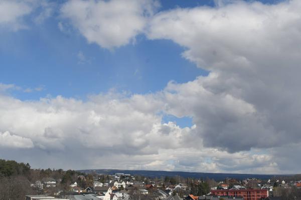
NE+2
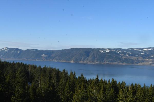
S+2

The closest observation stations
E6 Vien
elevation 127 m, 5.4 km from Atlungstad brenneri
Temperature atTemperature15.2°Precipitation last 24 hoursPrecipitation 17mmHamar − Stavsberg
elevation 221 m, 6.6 km from Atlungstad brenneri
Temperature atTemperature15.2°Precipitation last 24 hoursPrecipitation 17mmWind speed at1.0m/sWind gust at1.6m/sIlseng
elevation 182 m, 8.3 km from Atlungstad brenneri
Temperature atTemperature14.7°Precipitation last 24 hoursPrecipitation 13mm
The air around Atlungstad brenneri
Pollen forecast
Inner eastern Norway
27 July Pollen type Concentration Mugwort and Grass Low28 July Pollen type Concentration Mugwort and Grass LowAir pollution forecast
Atlungstad brenneri
:LowLow or no risk for health effects.
Graph which shows air quality for Atlungstad brenneri
In the atmosphere
UV forecast
Atlungstad brenneri
2LowSun protection is necessary when the UV index is 3 or higher.
Graph which shows UV forecast for Atlungstad brenneri Aurora
Atlungstad brenneri
Kp index: 5Aurora: No activity96% cloud coverAurora
Sun and moon
Sun
Daylight22° above horizonGraph which shows the sun phases and how high in the sky the sun is for Atlungstad brenneri - Sunrise
- Sunset
- Length of day:
- Difference from yesterday:
- Difference from summer solstice:
- Solar noon at
- Next solar eclipse (partial):
Moon
The moon is 35° over the horizon in southwest
60% illuminated, waning gibbous
- Moonset in northwest
- Moonrise in northeast
- Next full moon:
- Next new moon:
- Next lunar eclipse (partial):
Water temperatures
Koigen
4 km from Atlungstad brenneri
Temperature18.0°Registered by user,
Ponnengen brygge
12.5 km from Atlungstad brenneri
Temperature19.0°Registered by user,
Evjua
12.8 km from Atlungstad brenneri
Temperature17.0°Registered by user,
Mjøsparken
15.8 km from Atlungstad brenneri
Temperature17.5°Registered by Divako,
Topcamp Mjøsa
16.9 km from Atlungstad brenneri
Temperature19.0°Registered by user,
Rambekkvika
20.7 km from Atlungstad brenneri
Temperature17.0°Registered by Badetassen.no,