Webcams


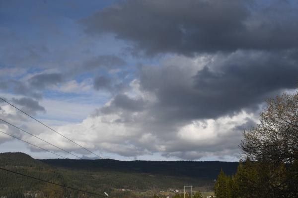
NE+1
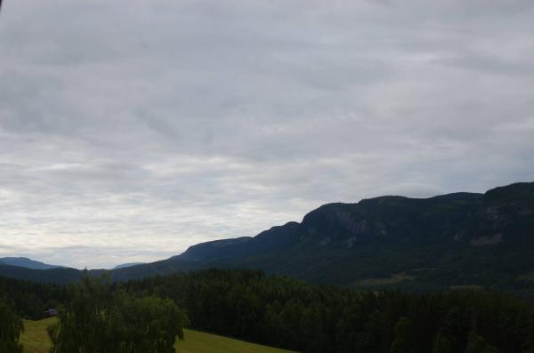
SE+1
The closest observation stations
Fagernes
elevation 358 m, 12 km from Vatninge
Temperature atTemperature15.8°Precipitation last 24 hoursPrecipitation 0.1mmWind speed at3.0m/sWind gust at9.4m/sLøken i Volbu
elevation 521 m, 13.6 km from Vatninge
Temperature atTemperature12.6°Precipitation last 24 hoursPrecipitation 0mmE16 Ryfoss
elevation 406 m, 18.2 km from Vatninge
Temperature atTemperature12.5°Precipitation last 24 hoursPrecipitation 0mm
The air around Vatninge
Pollen forecast
Central mountain areas in southern Norway
20 June Pollen type Concentration Birch and Salix Low21 June Pollen type Concentration Birch and Salix LowAir pollution forecast
Vatninge
:LowLow or no risk for health effects.
Graph which shows air quality for Vatninge
In the atmosphere
UV forecast
Vatninge
1LowSun protection is necessary when the UV index is 3 or higher.
Graph which shows UV forecast for Vatninge Aurora
Vatninge
Kp index: 1Aurora: No activity78% cloud coverAurora
Sun and moon
Sun
Daylight18° above horizonGraph which shows the sun phases and how high in the sky the sun is for Vatninge - Sunrise
- Sunset
- Length of day:
- Difference from yesterday:
- Difference from winter solstice:
- Solar noon at
- Next solar eclipse (partial):
Moon
The moon is 15° under the horizon in southeast
97.8% illuminated, waxing gibbous
- Moonset in southwest
- Moonrise in south
- Next full moon:
- Next new moon:
- Next lunar eclipse (partial):
Water temperatures
Mobrua
34.7 km from Vatninge
Temperature13.5°Registered by Badetassen.no,
Haugseter Fjellstue
37.8 km from Vatninge
Temperature6.5°Registered by user,
Oppsjø
47.3 km from Vatninge
Temperature12.0°Registered by Badetassen.no,