Webcams
N+2


The closest observation stations
Rv36 Seljord
elevation 125 m, 9.3 km from Kolabotthaugen
Temperature atTemperature11.4°Wind speed at4.2m/sBø
elevation 105 m, 16.2 km from Kolabotthaugen
Temperature atTemperature10.8°Precipitation last 24 hoursPrecipitation 0mmLifjell - Øysteinnatten
elevation 1102 m, 16.2 km from Kolabotthaugen
Temperature atTemperature4.7°Snow depth atSnow depth23.0 cmWind speed at3.8m/sWind gust at4.7m/s
The air around Kolabotthaugen
Pollen forecast
Central mountain areas in southern Norway
7 May Pollen type Concentration Salix Low8 May Pollen type Concentration Salix LowAir pollution
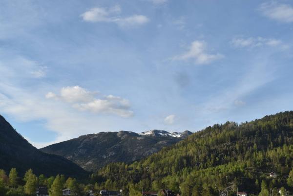
Kolabotthaugen
:LowThe pollution levels are low.
Graph which shows air quality for Kolabotthaugen
In the atmosphere
UV forecast
Kolabotthaugen
0No UV radiationGraph which shows UV forecast for Kolabotthaugen Aurora
Kolabotthaugen
Kp index: 4Aurora: No activity70% cloud coverAurora
Sun and moon
Sun
Dusk (nautical twilight)9° below the horizonGraph which shows the sun phases and how high in the sky the sun is for Kolabotthaugen - Sunrise
- Sunset
- Length of day:
- Difference from yesterday:
- Difference from winter solstice:
- Solar noon at
- Next solar eclipse (partial):
Moon
The moon is 9° under the horizon in northwest
0.1% illuminated, waning crescent
- Moonrise in northeast
- Moonset in northwest
- Next full moon:
- Next new moon:
- Next lunar eclipse (partial):
Water temperatures
Tinnåa
32.6 km from Kolabotthaugen
Temperature6.0°Registered by user,
Åkrevannet
34.3 km from Kolabotthaugen
Temperature8.5°Registered by Badetassen.no,
Toke Brygge
40.6 km from Kolabotthaugen
Temperature8.8°Registered by Badetassen.no,