Webcams

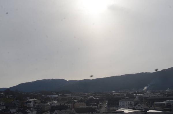
E+1
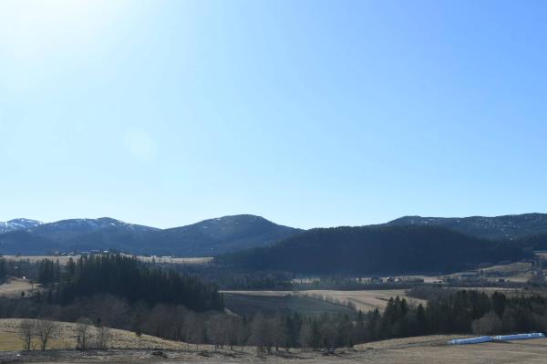
SW+1
The closest observation stations
Namsos lufthavn
elevation 2 m, 5.8 km from Vattafjellet
Temperature atTemperature13.2°Wind speed at0.9m/sWind gust at5.2m/sFv17 Rødhammer
elevation 38 m, 16.2 km from Vattafjellet
Temperature atTemperature11.0°Wind speed at0.0m/sOverhalla - Skogmo
elevation 32 m, 27.7 km from Vattafjellet
Temperature atTemperature13.1°Precipitation last 24 hoursPrecipitation 0mm
The air around Vattafjellet
Pollen forecast
Trøndelag
14 May Pollen type Concentration Birch SevereSalix Low15 May Pollen type Concentration Birch SevereSalix LowAir pollution forecast
Vattafjellet
:LowLow or no risk for health effects.
Graph which shows air quality for Vattafjellet
In the atmosphere
UV forecast
Vattafjellet
0No UV radiationGraph which shows UV forecast for Vattafjellet Aurora
Vattafjellet
Kp index: 4Aurora: No activity18% cloud coverAurora
Sun and moon
Sun
Dusk (civil twilight)6° below the horizonGraph which shows the sun phases and how high in the sky the sun is for Vattafjellet - Sunrise
- Sunset
- Length of day:
- Difference from yesterday:
- Difference from winter solstice:
- Solar noon at
- Next solar eclipse (partial):
Moon
The moon is 21° over the horizon in west
44.8% illuminated, waxing crescent
- Moonset in northwest
- Moonrise in northeast
- Next full moon:
- Next new moon:
- Next lunar eclipse (partial):