Webcams
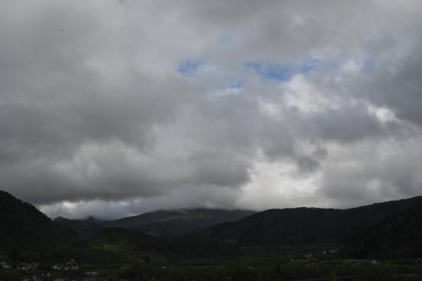
S

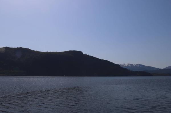
SW+1
The closest observation stations
E39 Halbrendslia
elevation 247 m, 2.9 km from Langelandsvatnet
Temperature atTemperature14.5°Precipitation last 24 hoursPrecipitation 0mmFørde lufthavn - Bringeland
elevation 321 m, 4 km from Langelandsvatnet
Temperature atTemperature14.6°Wind speed at2.3m/sWind gust at9.5m/sE39 Sande bru
elevation 62 m, 10.6 km from Langelandsvatnet
Temperature atTemperature15.2°Precipitation last 24 hoursPrecipitation 0.9mm
The air around Langelandsvatnet
Pollen forecast
17 June
No pollen reported.
18 June
No pollen reported.
Air pollution forecast
Langelandsvatnet
:LowLow or no risk for health effects.
Graph which shows air quality for Langelandsvatnet
In the atmosphere
UV forecast
Langelandsvatnet
2LowSun protection is necessary when the UV index is 3 or higher.
Graph which shows UV forecast for Langelandsvatnet Aurora
Langelandsvatnet
Kp index: 2Aurora: No activity92% cloud coverAurora
Sun and moon
Sun
Daylight38° above horizonGraph which shows the sun phases and how high in the sky the sun is for Langelandsvatnet - Sunrise
- Sunset
- Length of day:
- Difference from yesterday:
- Difference from winter solstice:
- Solar noon at
- Next solar eclipse (partial):
Moon
The moon is 5° under the horizon in east
80.4% illuminated, waxing gibbous
- Moonset in southwest
- Moonrise in southeast
- Next full moon:
- Next new moon:
- Next lunar eclipse (partial):
Water temperatures
Talgavika
38.2 km from Langelandsvatnet
Temperature15.0°Registered by user,
Kjerringvika
38.4 km from Langelandsvatnet
Temperature10.0°Registered by user,
Sandane
45.5 km from Langelandsvatnet
Temperature14.0°Registered by user,